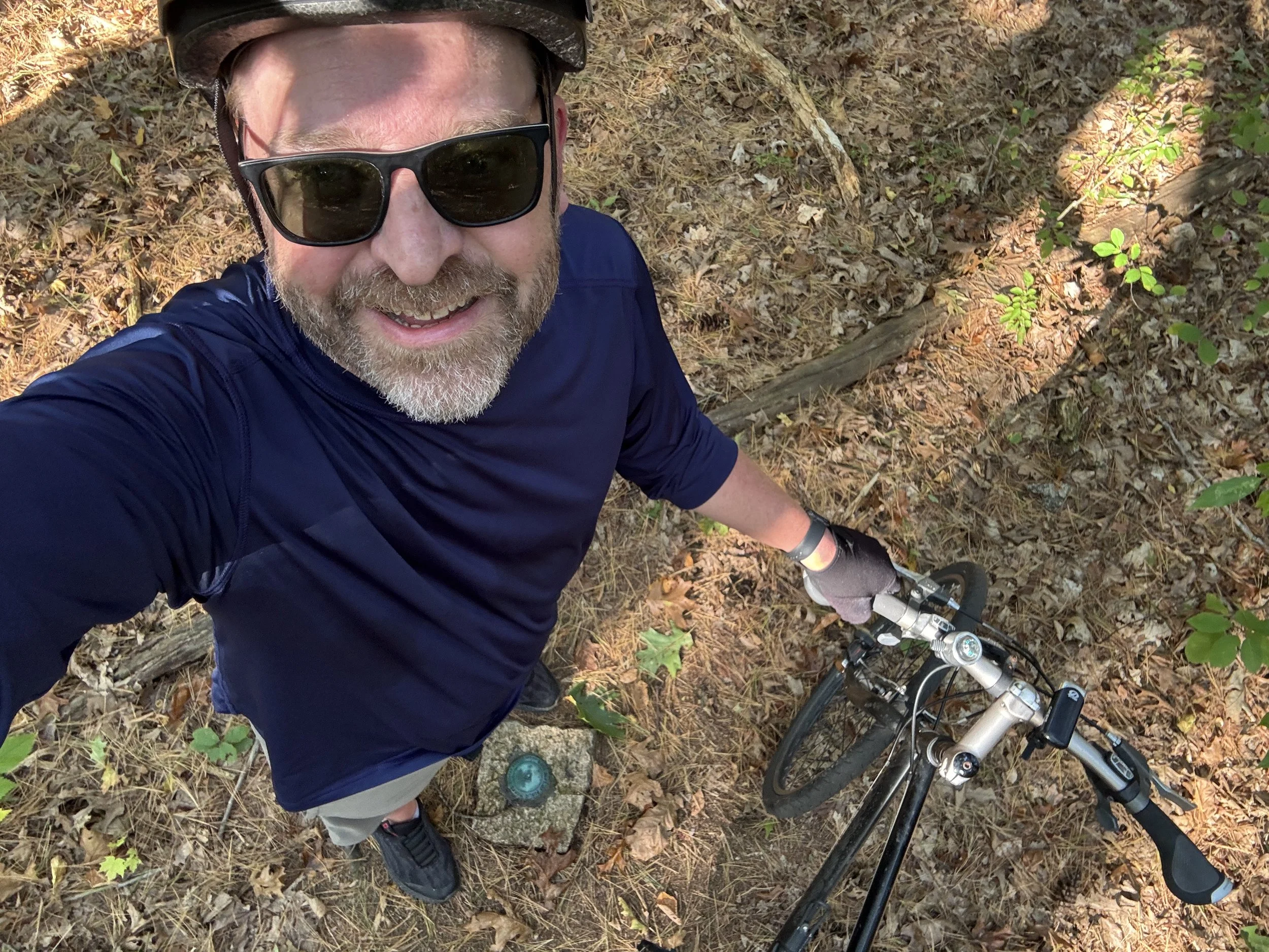
That One Road
I’ve always been intrigued by roads that I pass regularly in my normal travels but don’t take. Everywhere I’ve lived there’s been That One Road that I have no reason to go down but has something interesting about it; maybe it’s a building on it that I just catch a glimpse of while passing by and want to know more about, the hint of sky that promises a long view over fields, it’s covered by trees hiding some kind of shady mystery, or even a small cozy looking restaurant or shop that is begging to be checked out. I’ve lived in Natick for 9 years now and there are so many examples of That One Road that I see in my everyday travels that it occurred to me that I should just go down every road in town and see what’s there. That lead me to a personal goal for 2025: go down every road in Natick before the end of the year.
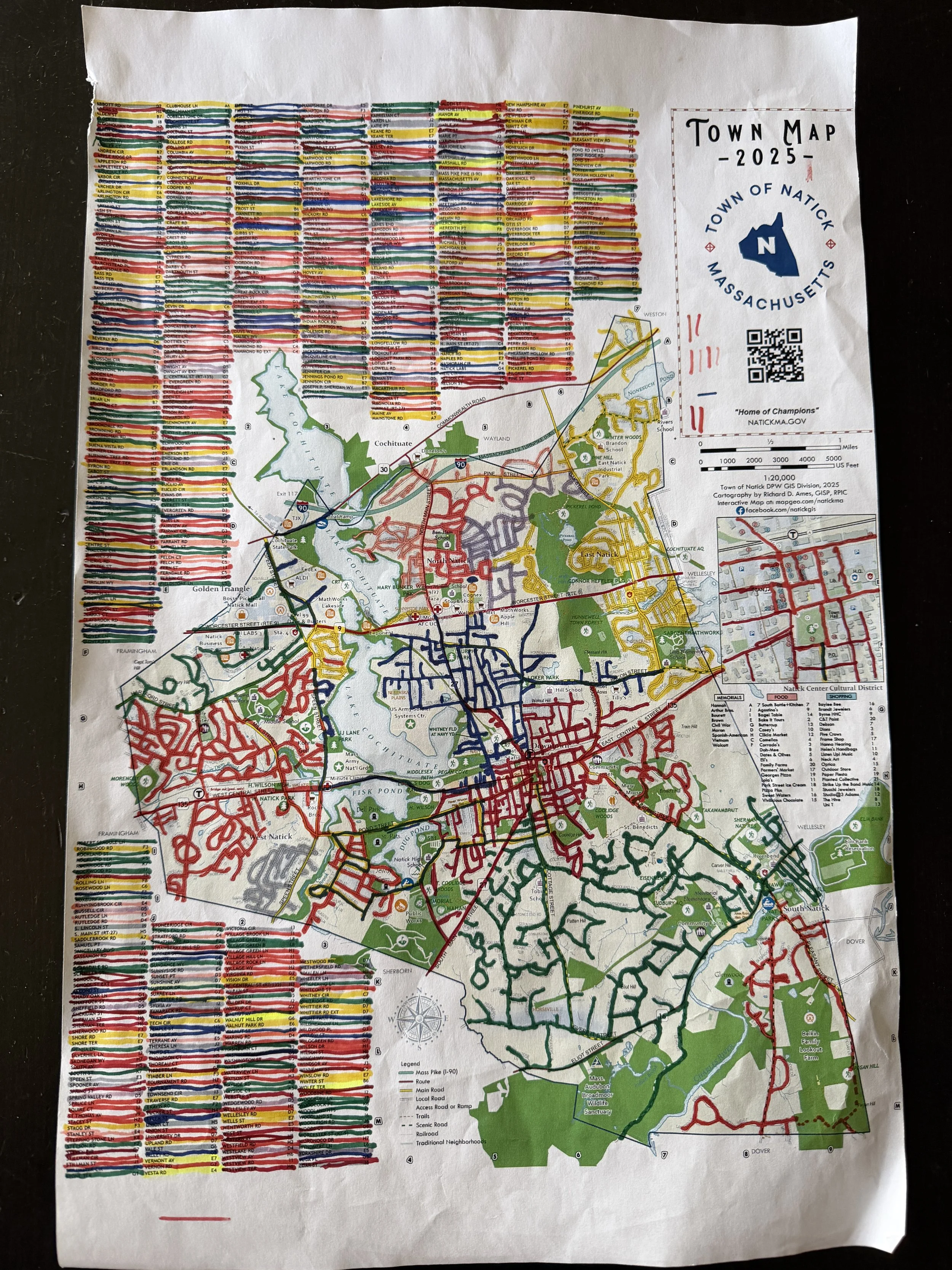
This leads to some questions like, how do I know how many roads there are? How do I keep track of what I’ve done? Can I get in trouble for this? Should I do this on foot, bike or car? The answer to that last one was easiest, I love biking and miss the bike commute I had back when I lived in Somerville, so biking it is. Fortunately the Town of Natick Geographic Information Service (GIS) was there to help me out. Each year they publish a PDF Map that includes a list of streets by name as well as neighborhood names, major businesses, town amenities and more. Natick GIS is very active on Facebook and I’m just the type of nerd who will reach out to them with questions, which lead me discover that there around 700 named streets in town covering close 170 lineal miles of road. Knowing that the rules of the challenge began to solidify: bike every street in town at least once in at least one direction on the road or sidewalk (whichever is safer) while following the rules of the road. This ruled out having to ride on the MassPike since bikes are (thankfully) prohibited, and later I decided to exclude Natick Labs Road since it’s behind the gate of the US Army Soldier Systems Center.

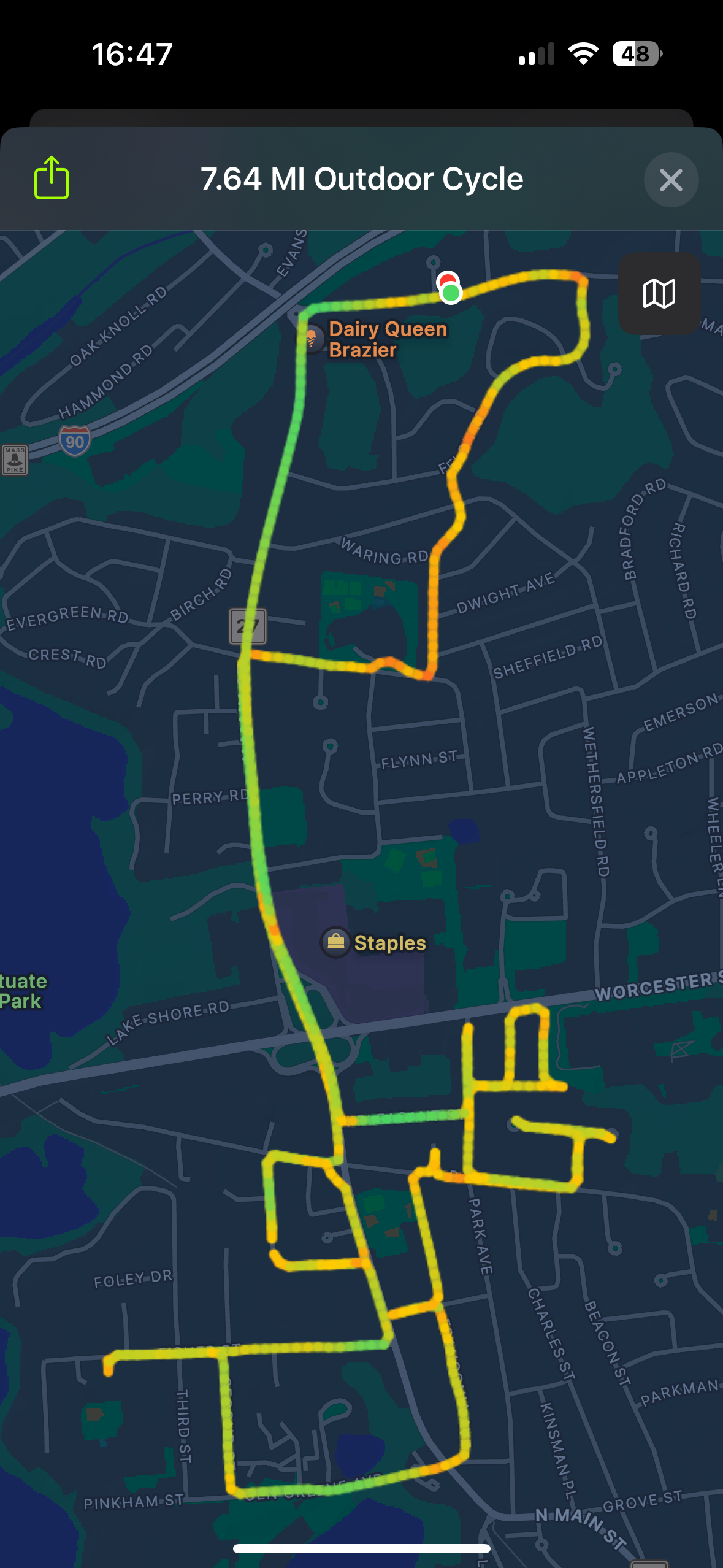
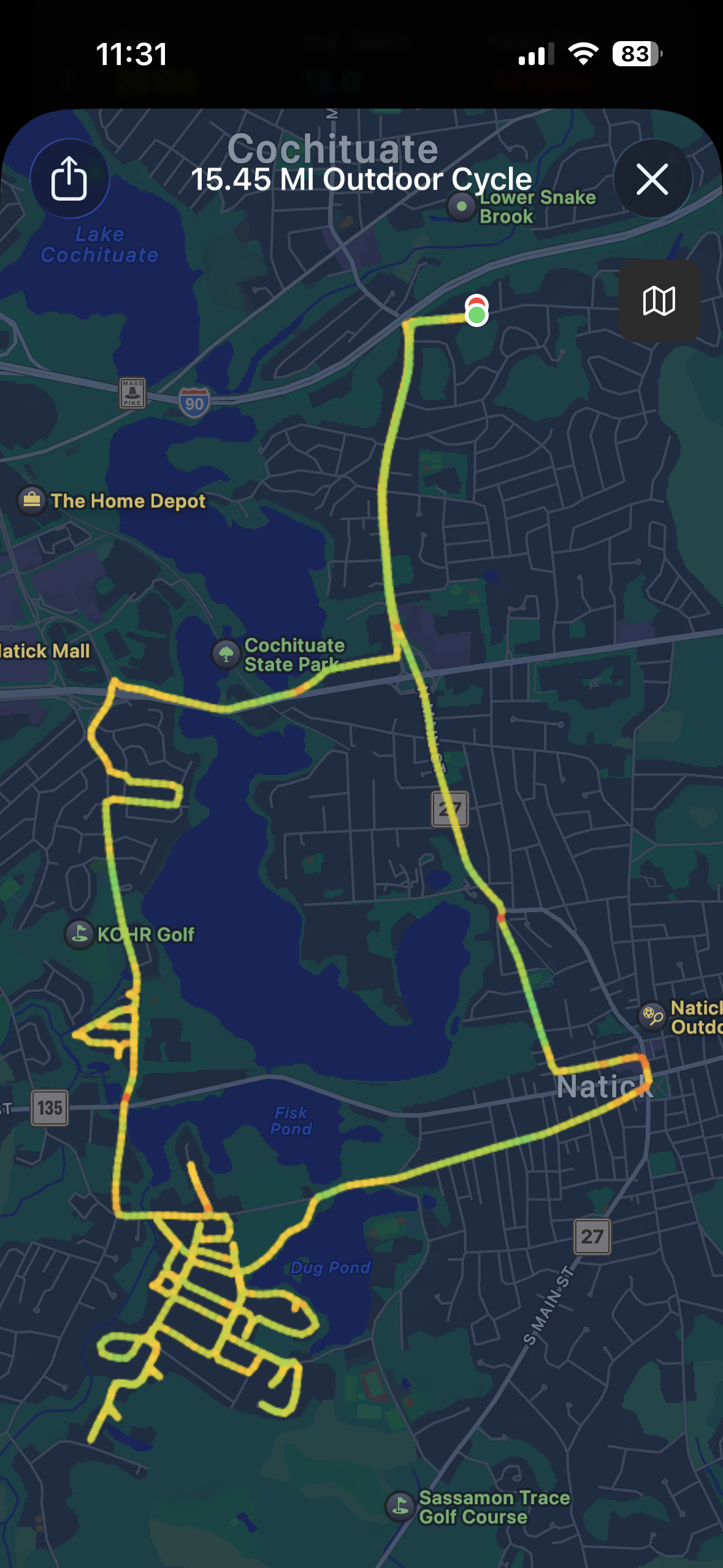
So, back on March 19 I decided to make a trip to the pharmacy my first official Expedition of this endeavor, I hopped on my bike and did every little side street between HQ and the pharmacy, flitting in and out of Wayland as I did so. On the way back I proceeded past the office just so I could count having done my entire street - something I probably didn’t have to prioritize on the first outing considering how many more times I would go back and forth on this street before I was done! This trip was only 5 miles and a total of 10 streets, but I got to see the adorable A-frame at the end of Hammond and endure the incredible potholes on Evans Drive.
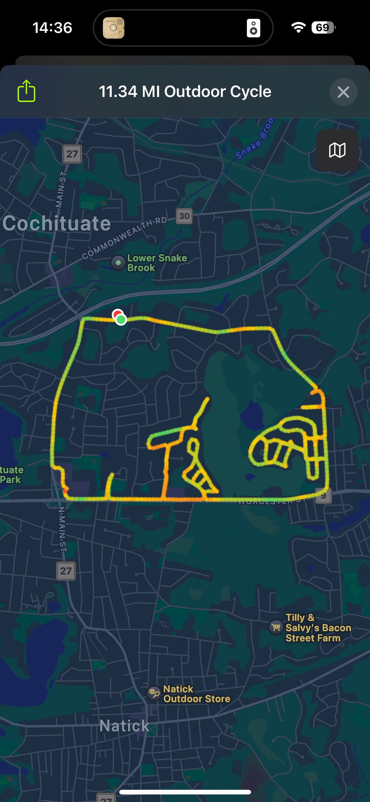
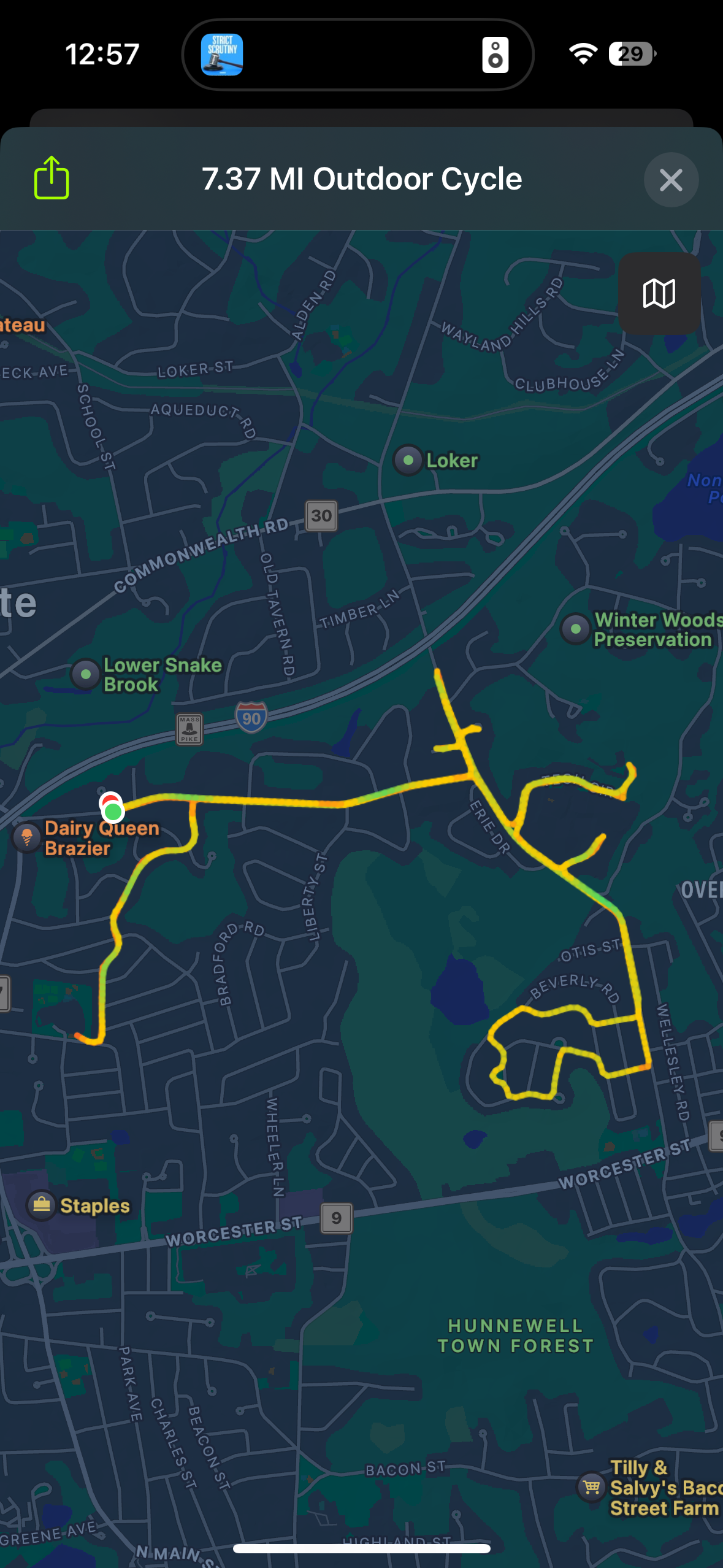
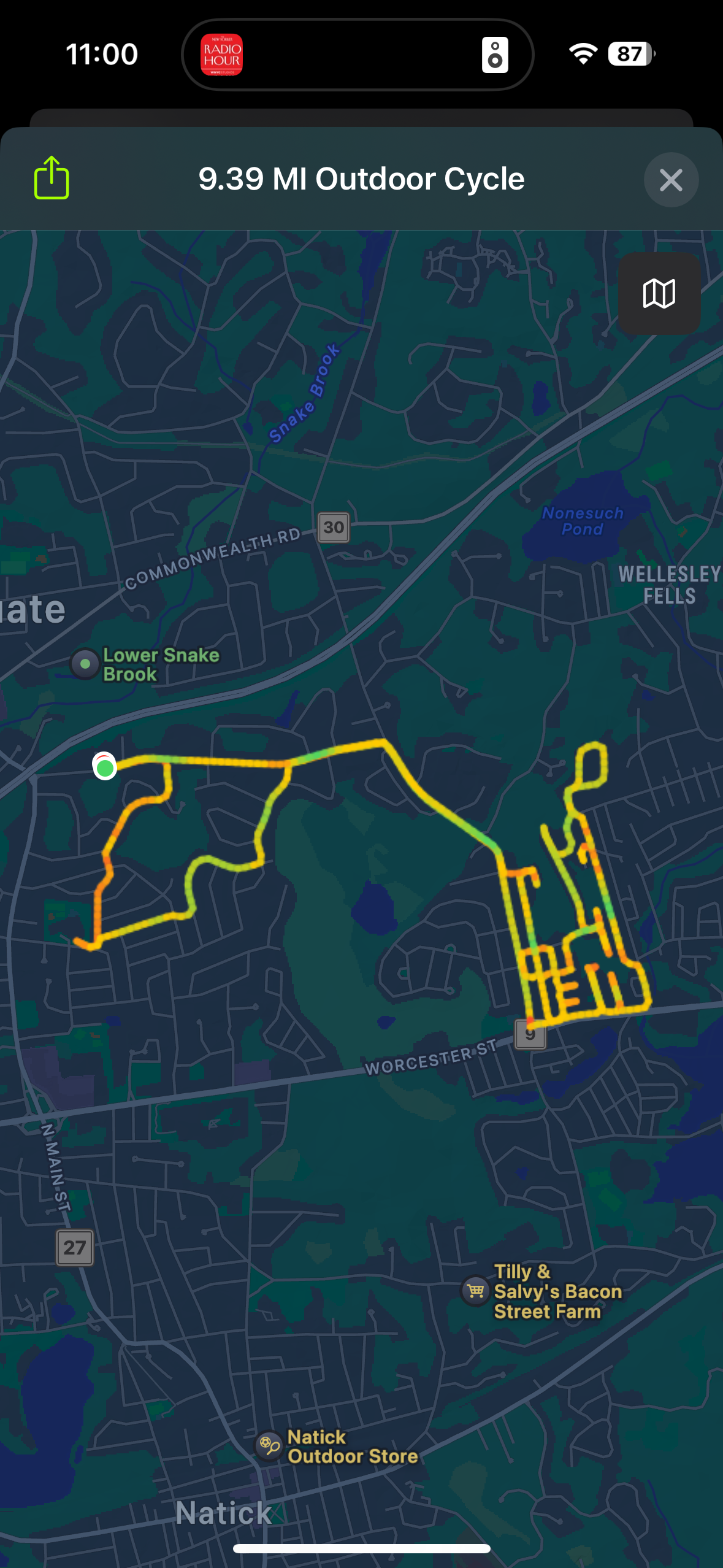
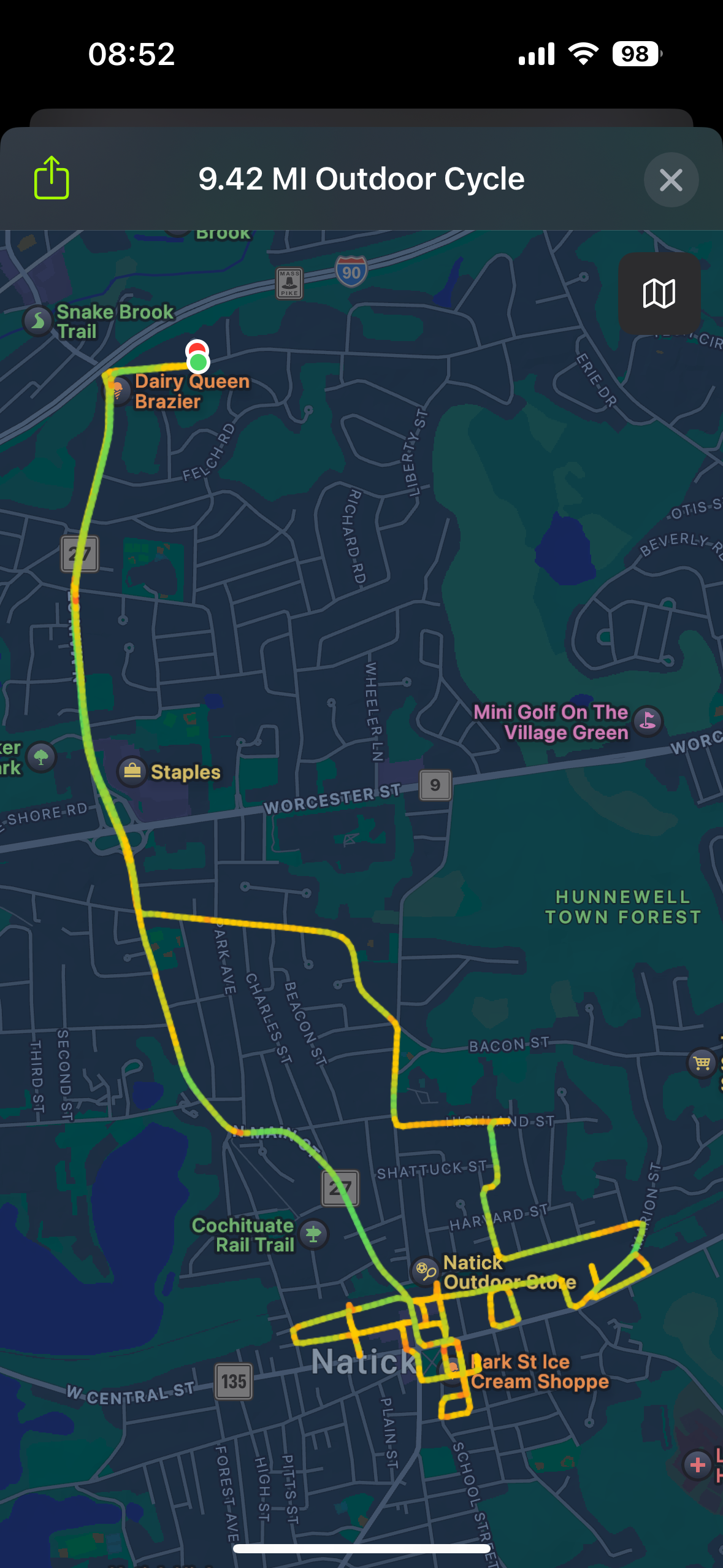
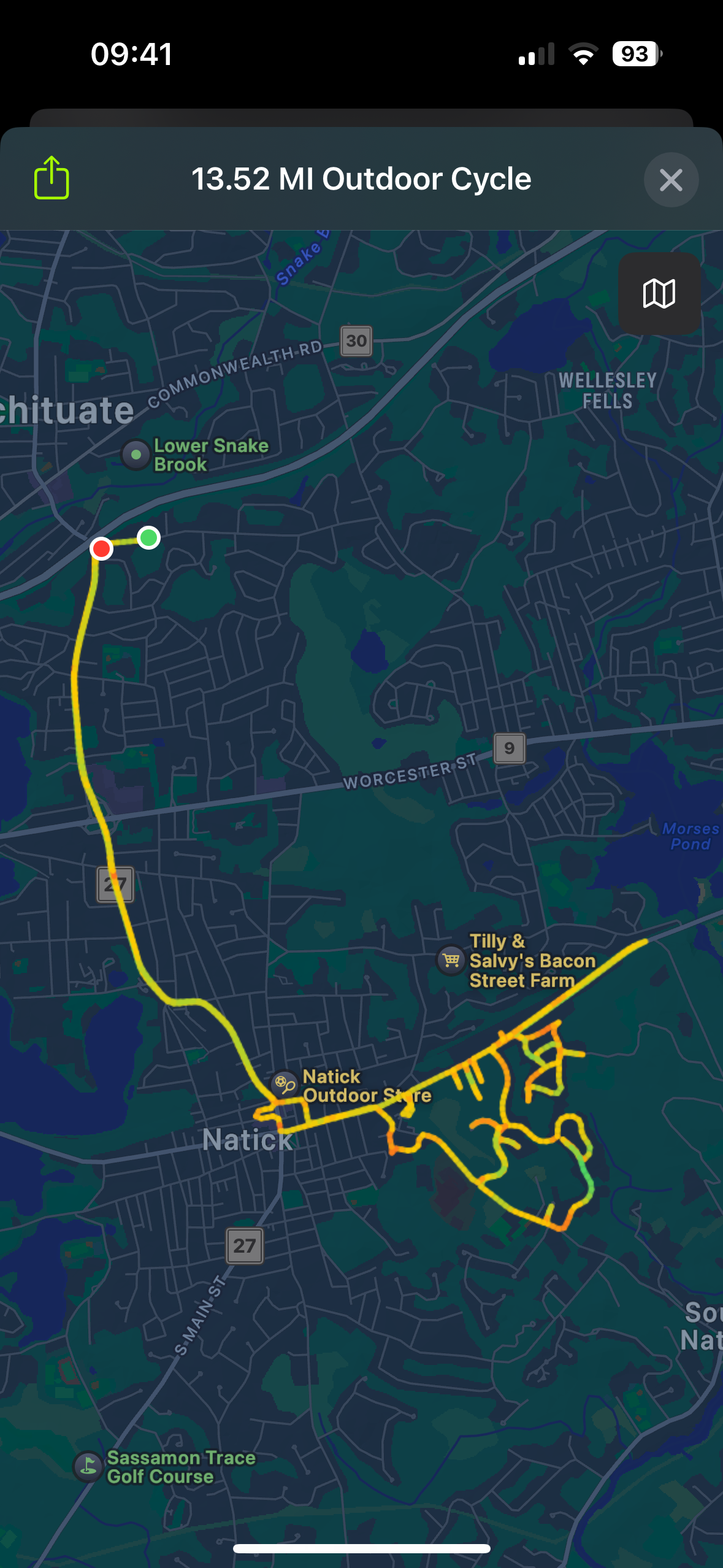
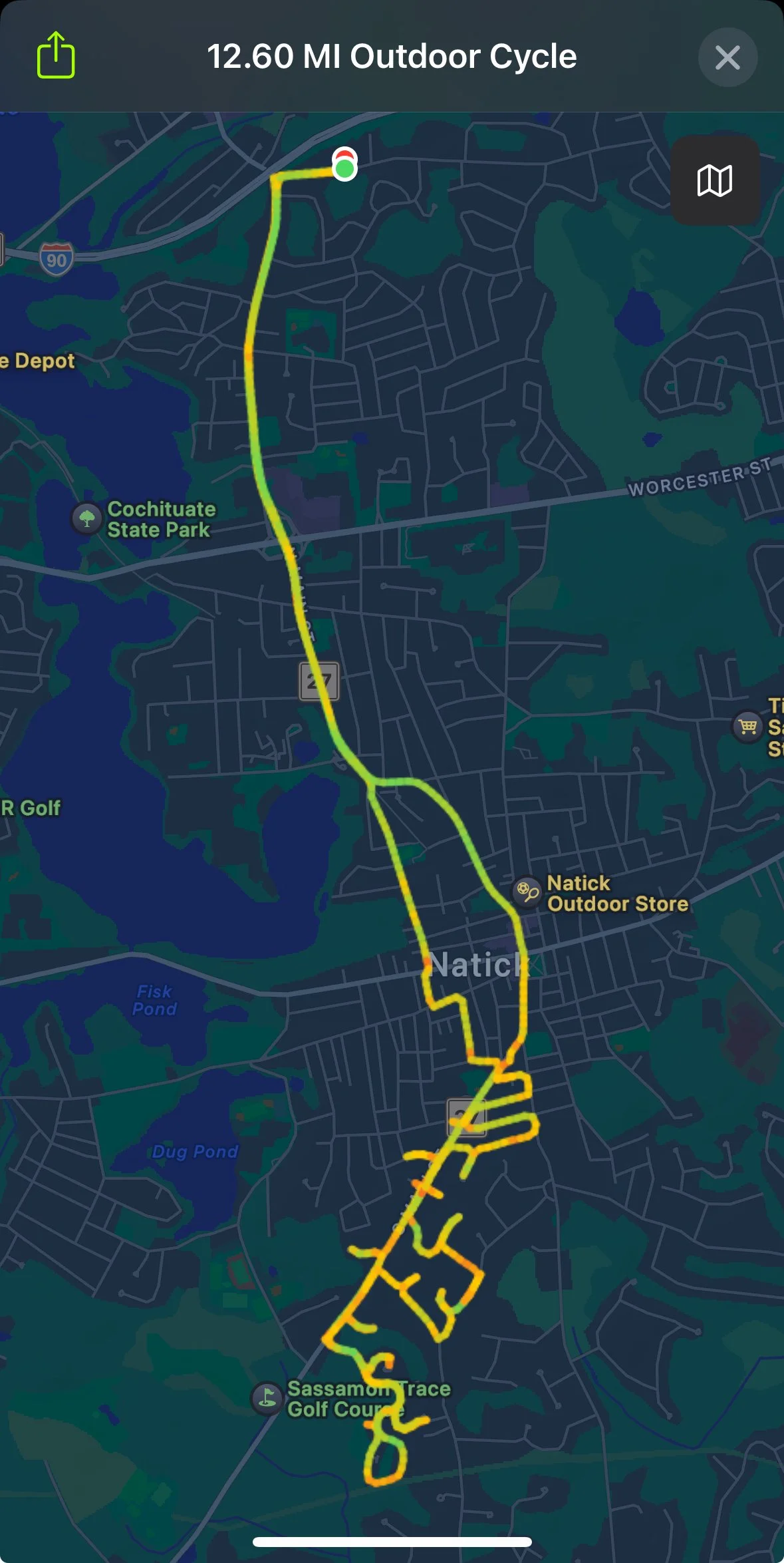
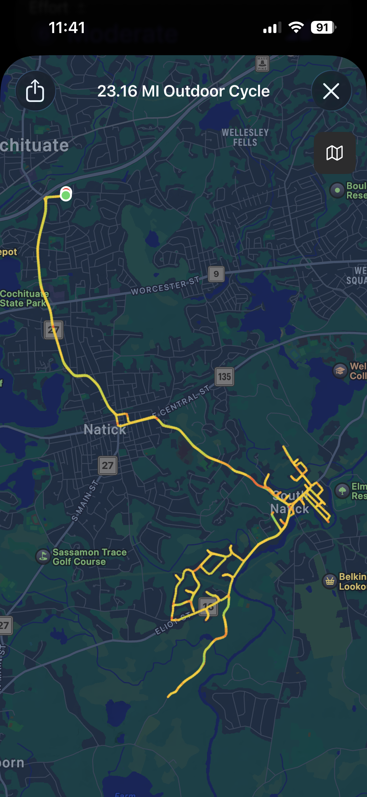
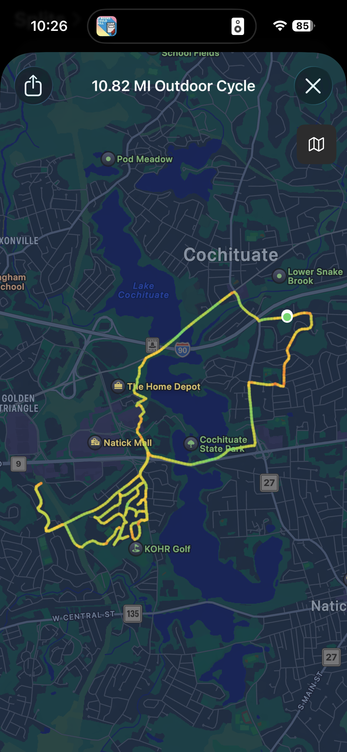
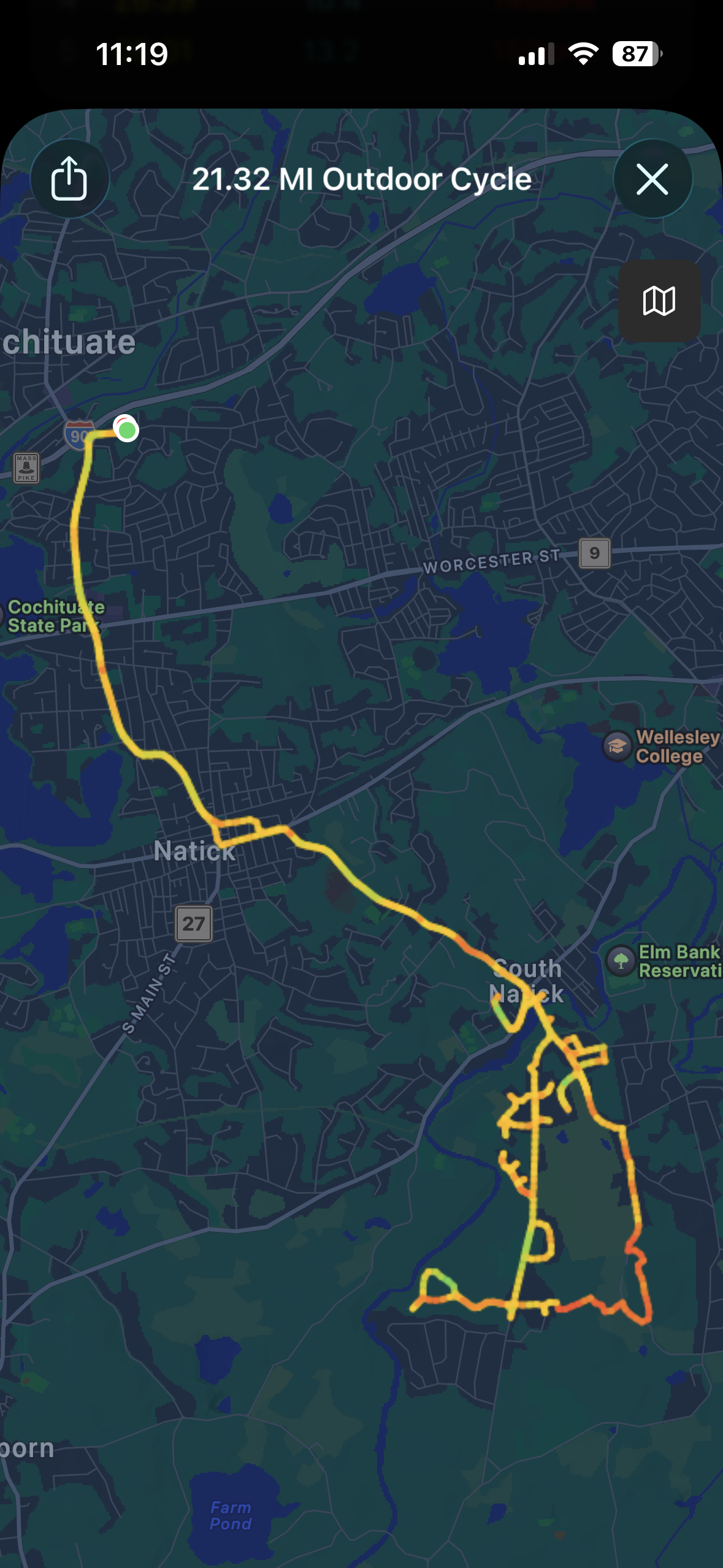
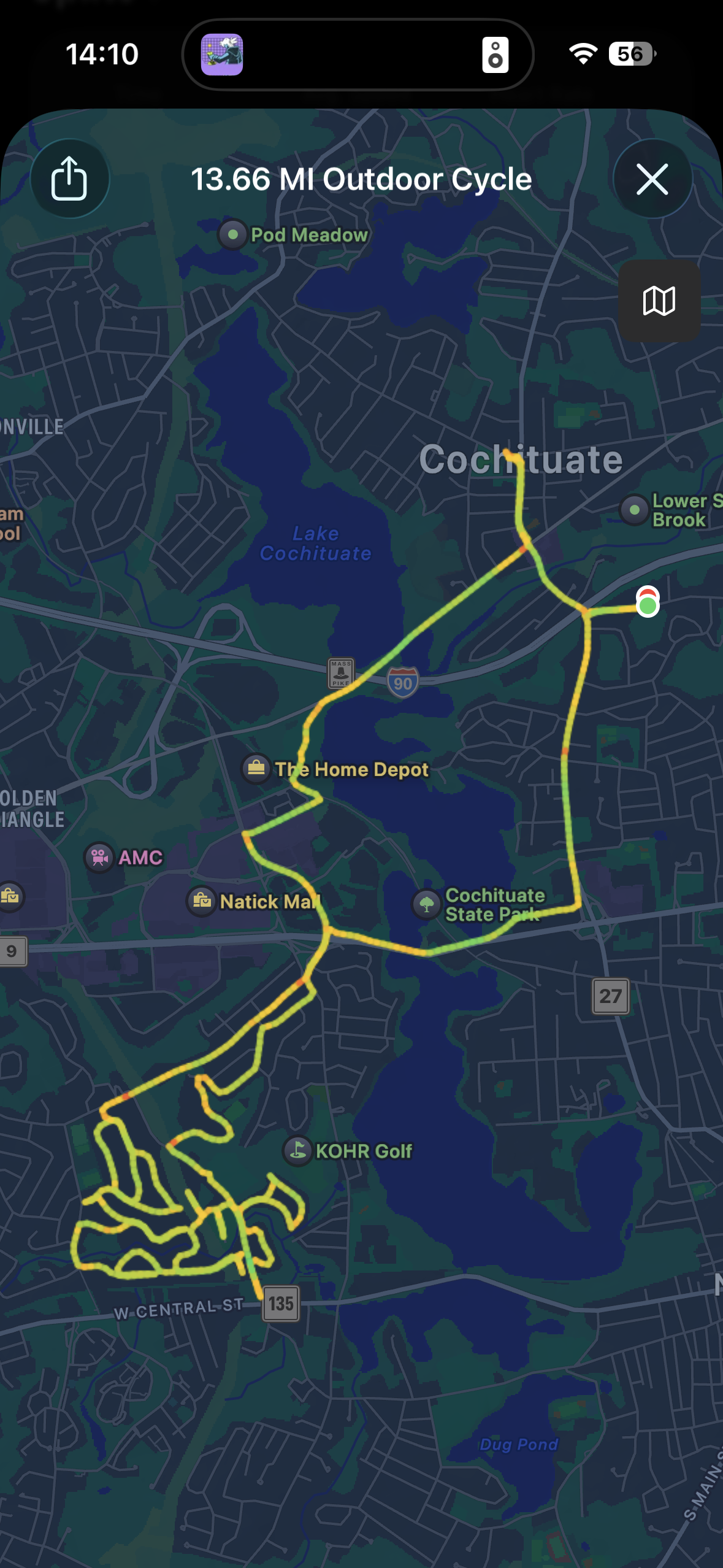
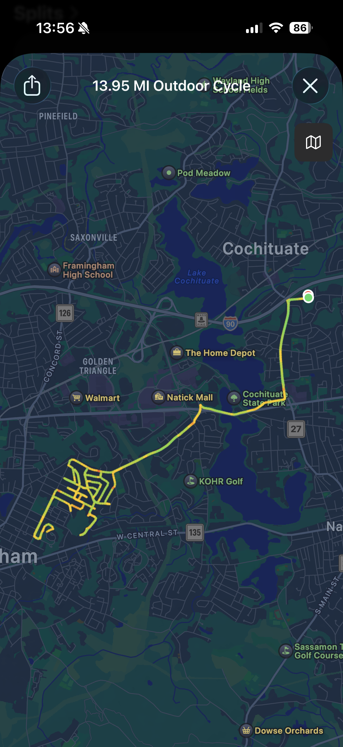
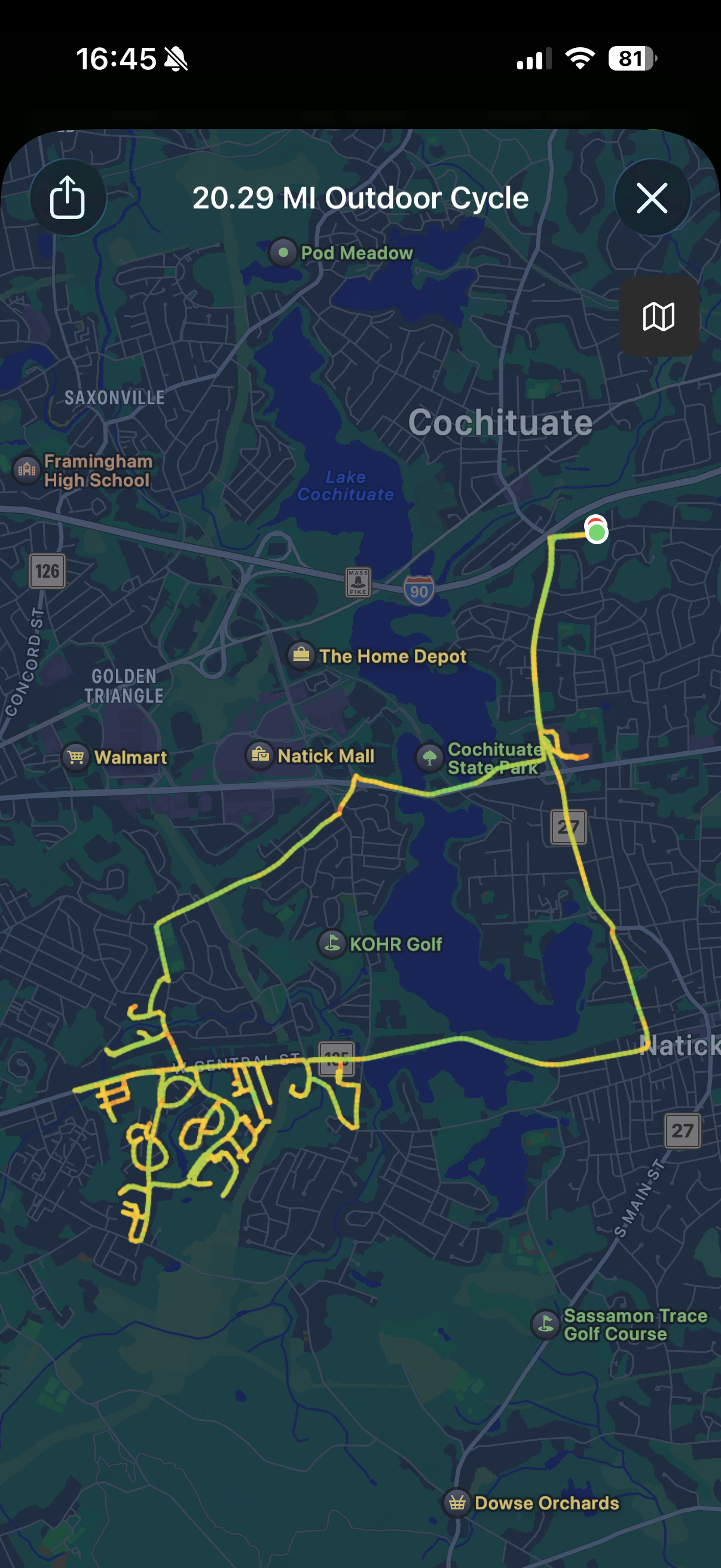
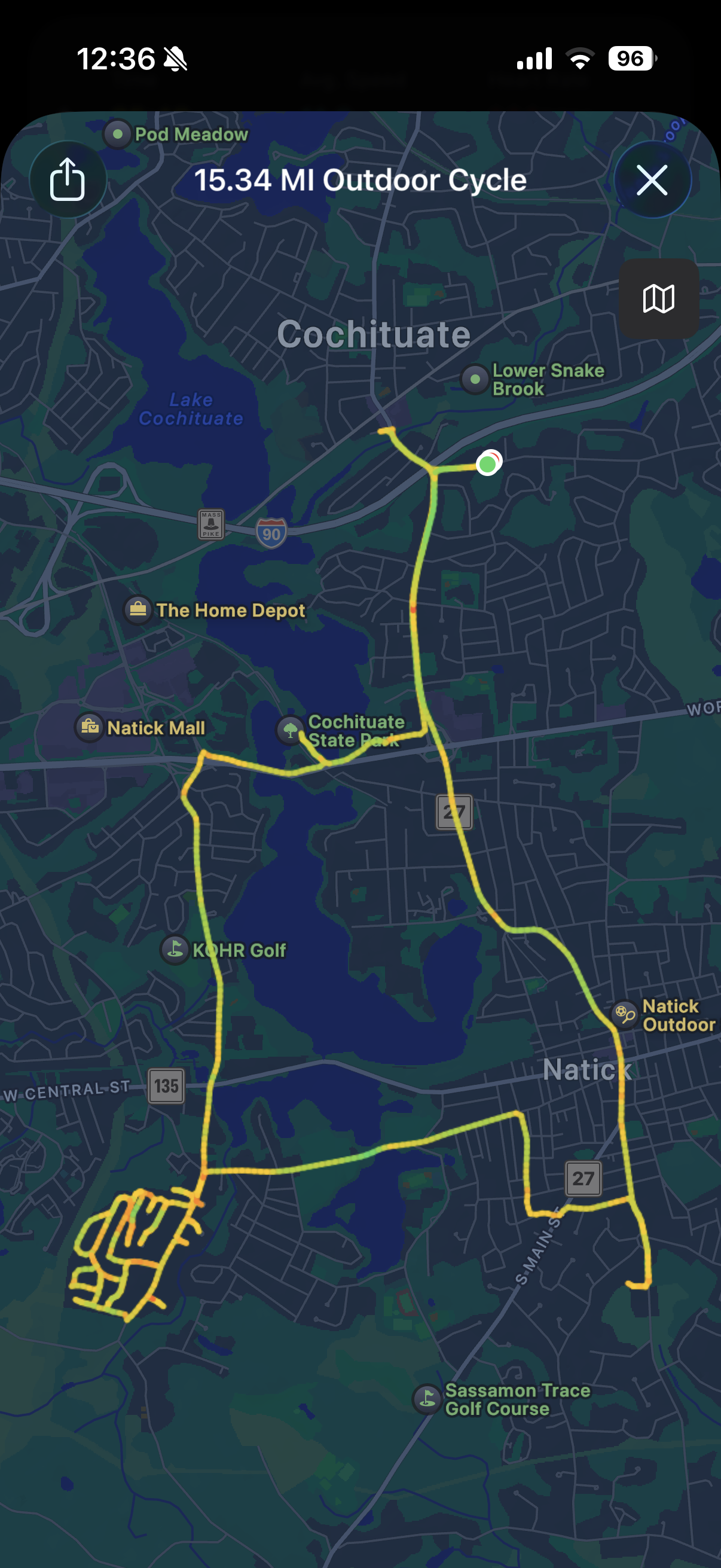
This led to 34 more expeditions over the course of the next 8 months. At first they were relatively short and could be done over a lunch break or after taking the kids to school, but as I completed the streets close to HQ the expeditions got longer and longer until I had to set aside a few hours for each one. That first ride ended up being the shortest, while the longest was over 23 miles and took me to the southern tip of Natick and back. I’d say for about the first half of the experience each ride was harder than the last, but before long my body acclimated and they became easier. Honestly though, even though I was wiped out after some of these rides, I always finished feeling great and reminded that I have always loved riding a bike, even way back to when I had training wheels! Sometimes I would miss a street and have to pedal myself all the way back through a neighborhood that I had already done in order to cross it off the list before going on to a totally different neighborhood that was my true goal of the day.
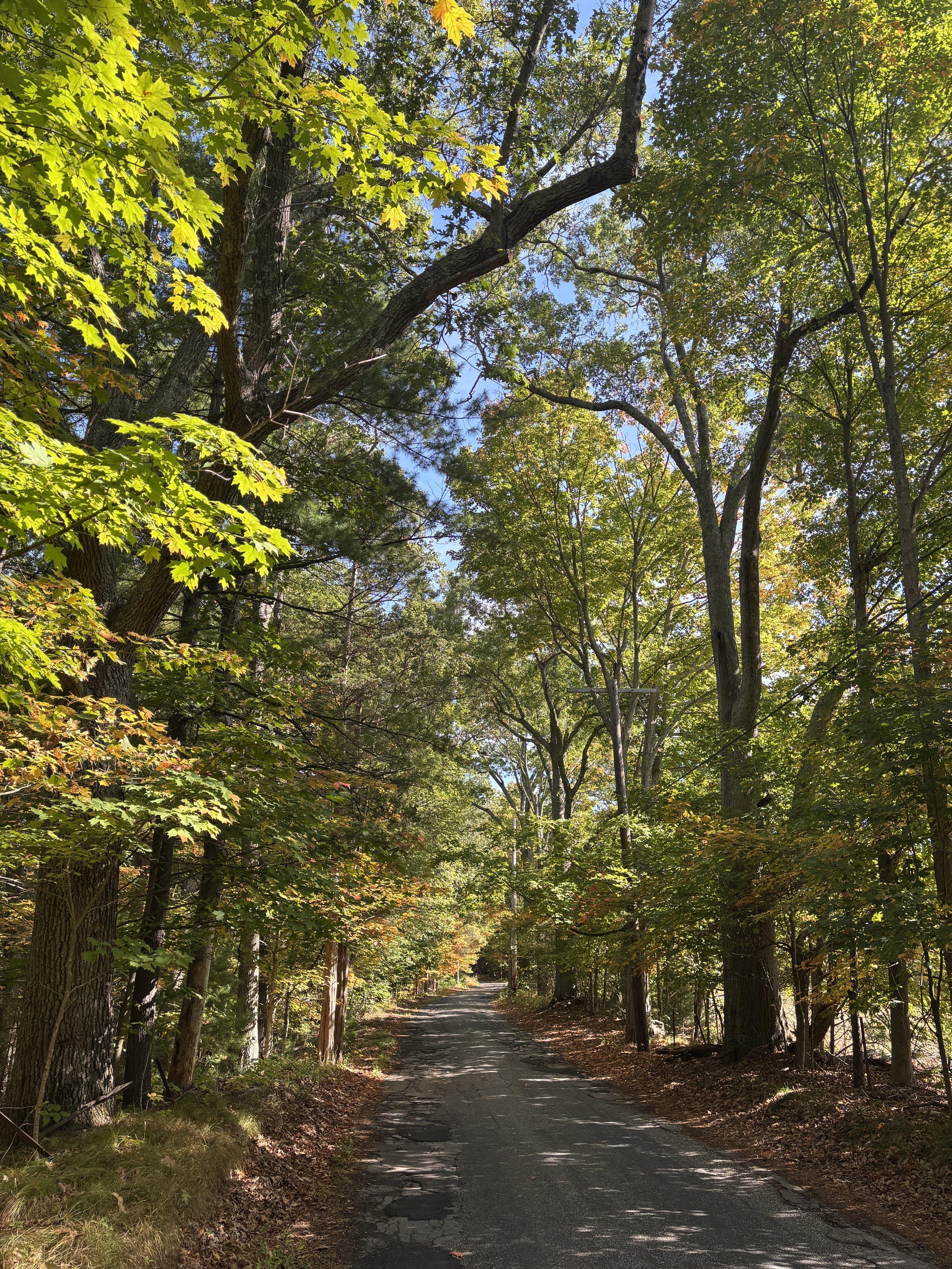
By far my favorite ride was when I went to the south east corner of the map and went off road over Pegan Hill so that I could ride along Glen Street to get home. Pegan Hill has a lovely hiking path up over the top and marks the highest point in Natick before diving into the woods behind Lookout Farm. The trails let me access Sassamon Road from the backside of the cul-de-sac that ends that street. I’ve never been solely a road biker, nor a mountain biker and it felt good to do both in one ride while working towards my goal! In that same neighborhood is South Street, which runs along Broadmoor Wildlife Sanctuary and has to be the prettiest street in Natick - at least it was the day I was there which, admittedly, was the platonic ideal of Fall In New England - leaves of every color, dappled sunlight on the road, leaves drifting down from above. Gorgeous.
Natick is mostly neighborhoods though and it was very interesting to see the variation of housing: slab ranches in Wethersfield, old cottages along the lake, developer houses from the 80s and 90s over by Lilja, townhouses in West Natick, Cape houses all around Speen street and sprinkled throughout are some fine examples of this historic colonial architecture. Walnut Hill in particular has some lovely homes and more can be found along 135 and Pond Street- it seemed to me that just when you thought a neighborhood would be all one-type of homogeneous structure, you’d stumble upon a historic home, barn or even mid-century modern inspired house. Honestly, I kept waiting to find the “ugly” part of town - but I never did. I’ve lived in Boston, Somerville, Cambridge and Buffalo and all have ugly, industrial areas that people don’t want to spend time in, but from what I’ve see Natick doesn’t. Sure Route 9 is loaded with parking lots and strip malls, but nature is always present and that tempers the austerity that accompanies so much suburban development elsewhere.
Overall I biked 425 miles to make sure that I had done all 691 (by my count) streets in town, an effort that took well over 17 hours and 25,000 calories burned while on the bike. Now I can say that I’ve been down every street from fresh paved asphalt to broken down gravel and dirt, every dead end, every cul-de-sac, every street that looks like someones driveway and the neighbors treat it like it is anyways, and along the way I got a glimpse of just about every house, shop, shed, barn, office building, garage and restaurant in town. In fact, there’s probably not another architect around that can say that they’ve seen as many houses in Natick as I have (if there is I wouldn’t mind meeting them!). It was an amazing experience overall and a great way to get to know the geography and neighborhoods of a place I’m growing to love.


Here’s the hard copy of the 2025 town map that I used to keep track of my progress and I used a different color for each month.
What should next years goal be?